
Plastic in the sea: help comes from satellite
Staff
25/03/2025
Reading time
0 min
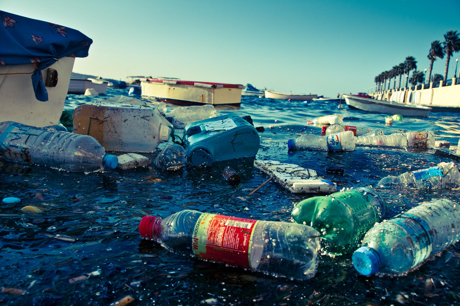
An unprecedented map. This is the result of a study published in Nature and carried out by an international research team-including the Institute of Marine Science (ISMAR) in Lerici-that has found a way to use satellite imagery to map marine litter pollution in the Mediterranean Sea.

""
Over a six-year period, using a supercomputer and advanced search algorithms, researchers scanned the entire Mediterranean Sea, every three days, analyzing more than 300,000 images collected by Sentinel-2 satellites of the European Union’s Copernicus program. These satellites, although not equipped with sensors specifically dedicated to detecting plastic waste, have a spatial resolution of 10 meters. Scientists have focused on identifying so-called litter windrows, accumulations of plastic and other floating debris to which marine currents often give the form of filaments.
They were thus able to map thousands of litter strips (many more than a kilometer long, some up to 20 km), creating the most comprehensive map to date of marine litter pollution in the Mediterranean Sea.
""
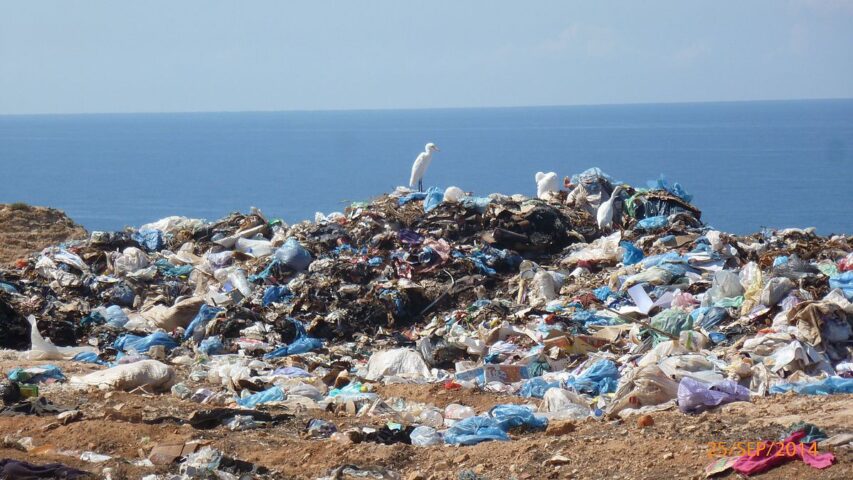
The information gathered is relevant, first and foremost because it identifies the most polluted areas: the Alborán Sea (the westernmost portion of the Mediterranean, between Spain to the north and Morocco to the south), the Algerian coast, the Gulf of Gabès (along the southeastern coast of Tunisia), the waters off the coast of Calabria, and, most importantly, the northern part of the Adriatic Sea. Data analysis also showed that a lot of litter enters the sea after storms, and land-based litter releases are regularly followed a few days later by a buildup of litter at sea.
There is more. The authors of the research, again using satellite tracking, were able to provide information to assess the effectiveness of marine litter action plans in Rome (Italy), identified a pollution hotspot related to high ship traffic through the Suez Canal (Egypt), and offered guidance for cleaning up the Bay of Biscay (Spain).
If high-resolution sensors specifically dedicated to detecting and identifying floating objects one meter in size were put into orbit in the future, the researchers state, it would be possible not only to greatly improve environmental monitoring, but also to detect oil spills and cargo leaks from ships, as well as to support search and rescue activities at sea.
Every story paves the way for the next: discover where biodiversity takes you
Study reveals key role of algae in countering the effects of climate change

Imbalance in the allocation of conservation funds threatens endangered species
According to a study, when resources are scarce, honey bees prevail over wild bee species
Dark diversity reveals hidden depletion of natural ecosystems
A project demonstrates the feasibility of a sustainable approach that satisfies various stakeholders
Its discovery in a Milanese park demonstrates the effectiveness of environmental restoration efforts.
Two compared species demonstrate very different adaptive capacities. And the picture becomes more complicated.
The open mouth is for communicating good intentions and responding to playmates
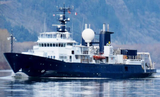
Gaia Blu, the CNR oceanographic ship, will explore a window into Tethys’ past with the Sirens campaign

The decline of these guardians of biodiversity has serious consequences for mountain ecosystems
Through DNA repair mechanisms and a specific protein alteration, it reaches 400 years old

An innovative approach to the study of living organisms: from an individualistic to a holistic analysis