Digital services for biodiversity protection
Monitor, protect, restore, enhance
The Biodiversity Gateway’s first prototypes turn data into action — collecting, processing, and applying biodiversity knowledge to tackle real environmental challenges
A system for turning data into knowledge
- Information gathering and integration
- Data from sensors, platforms like GBIF and iNaturalist, and other sources are brought together to create a rich, accessible knowledge base.
- Analysis and visualisation
- Advanced models help make sense of complex data — supporting research, monitoring, and better decisions.
- Information management and control
- Digital tools ensure quality, traceability, and interoperability — so biodiversity data stays useful, trustworthy, and ready to act on.


Service prototypes: where we start
The first prototypes focus on key areas: exotic pest species, phytotechnology, bioactive compounds, Nature-Based Solutions, and advanced monitoring of marine ecosystems
A-Sprint: monitoring exotic pest species
Some plant species, introduced by humans into new environments, spread rapidly and disrupt local ecosystems.
This tool helps local authorities assess the spread of invasive species in the metropolitan area of Milan.
Through interactive maps, users can explore soil permeability and the invasion risk associated with each plant species.
The system combines spatial and tabular data to generate clear, thematic visualisations — turning complex information into actionable insight.

Regeneration with phytotechnology
Some plants and microorganisms can purify polluted soils, offering a sustainable alternative to traditional remediation.
We analyse soil conditions to identify the most effective species for absorbing, degrading, volatilising, or stabilising pollutants. The goal: improve urban ecosystem health through targeted phytoremediation strategies.
Our focus? Scalable, adaptable solutions — ready to be applied across different contexts and on a large scale.
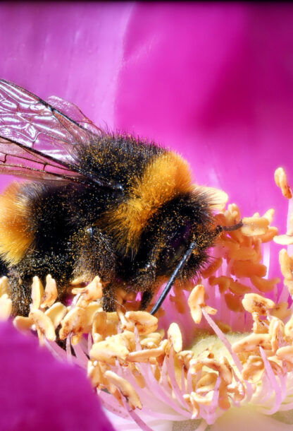
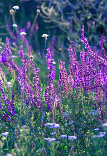
PollinAId: countering the decline of pollinators
As pollinator species decline, so does the delicate balance of the ecosystems they sustain.
PollinAId supports the creation of biodiversity-friendly green spaces, combining data, design, and natural solutions.
Built for companies, public officials, researchers, and citizens, it helps plan green areas aligned with environmental goals.
Users can select plant species suited to local conditions — filtering by factors like soil pH or flower colour — and visualise interactions between plants and pollinators.
It also displays insect traits and helps estimate which species are likely to be present.
Research into new bioactive molecules
Some plants produce compounds with remarkable, and often untapped, therapeutic potential.
To find them, we trace evolutionary relationships between species, identifying the most promising candidates for pharmaceutical use.
With the open-source tool PM4MP (Phylogenetic Methods for Medicinal Plants), we analyse plant databases, studying their medicinal properties and genetic lineage.
This approach has already helped identify a group of plant species with high potential for treating major diseases.
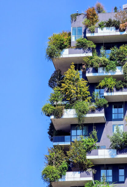
NbS CataTool: catalogue and tools for designing Nature-Based Solutions
Nature-Based Solutions can address complex environmental challenges, but only if the people designing them have the right tools.
CataTool was built for that purpose.
Designed for researchers, students, and municipal officials, it helps identify and explore NbS projects in urban, coastal, and terrestrial settings.
Through an interactive interface, you can browse a curated database and map of case studies — complete with images, tables, and fact sheets.
The prototype makes it easy to compare solutions by intervention type, terrain, and environmental goals.
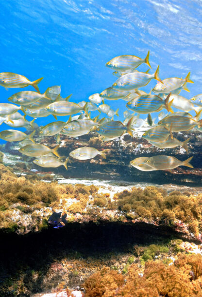
Nerea: monitoring marine ecosystems with advanced data
Studying the sea today means blending history with cutting-edge technology.
Nerea does just that — combining long-term time series and genomic data to track changes in marine ecosystems.
Designed for researchers, it integrates physicochemical, biogeochemical, and bioinformatics data to provide evidence for local agencies and support shared protection strategies.
Starting from a selected sample — filterable by site, year, and season — users can: analyse microscopy data through interactive treemaps; visualise data from HPLC, CTD, and LOFAS in tables and graphs; explore taxonomies in depth via drill-down tools.
The goal? A comprehensive, synoptic view of biodiversity in the Bay of Naples.
The goal is to facilitate synoptic reading of biodiversity in the Bay of Naples.
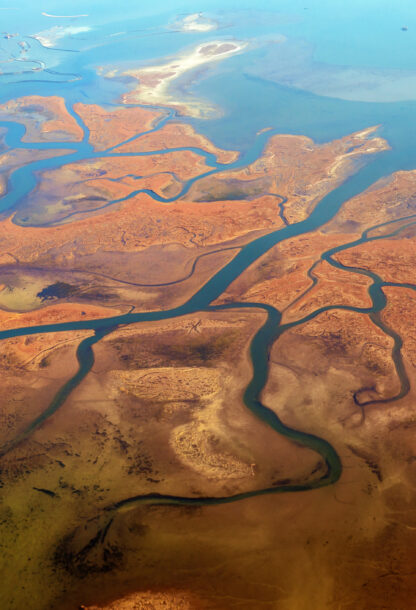
Lagoon atlas: explore the complexity of the Venice lagoon
The Venice Lagoon is facing urgent environmental and territorial challenges—and responding to them means understanding its full complexity.
The Atlas is a geoportal that gathers and organises data on the lagoon, its territory, and the coastal area of Venice.
Designed for public officials and citizens, it lets users navigate themes like Biology, Morphology, and History through interactive maps, charts, tables, and thematic sheets.
The data is structured into layers and accessible via standard map services (WMS and WFS) hosted on the CIGNo Atlas and CNR-ISMAR platforms.